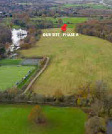
This land for sale in Maghull is currently being promoted through the Local Plan in collaboration with Anwyl Land, with the aim of securing a residential planning allocation for between 350 and 400 homes. In order to maximise the likelihood of success, we have consistently engaged with local stakeholders and aim to grow the neighbourhood in a sustainable and community-orientated fashion.
The local Sefton Council adopted their Local Plan in April 2017 but an early review is expected to be undertaken due to employment and housing growth throughout the local area. A subsidiary of the major housebuilder Anwyl Homes, Anwyl Land have worked with LandFirst previously, developing a close, professional working relationship.
GREEN LANE, MAGHULL
SITE LOCATION
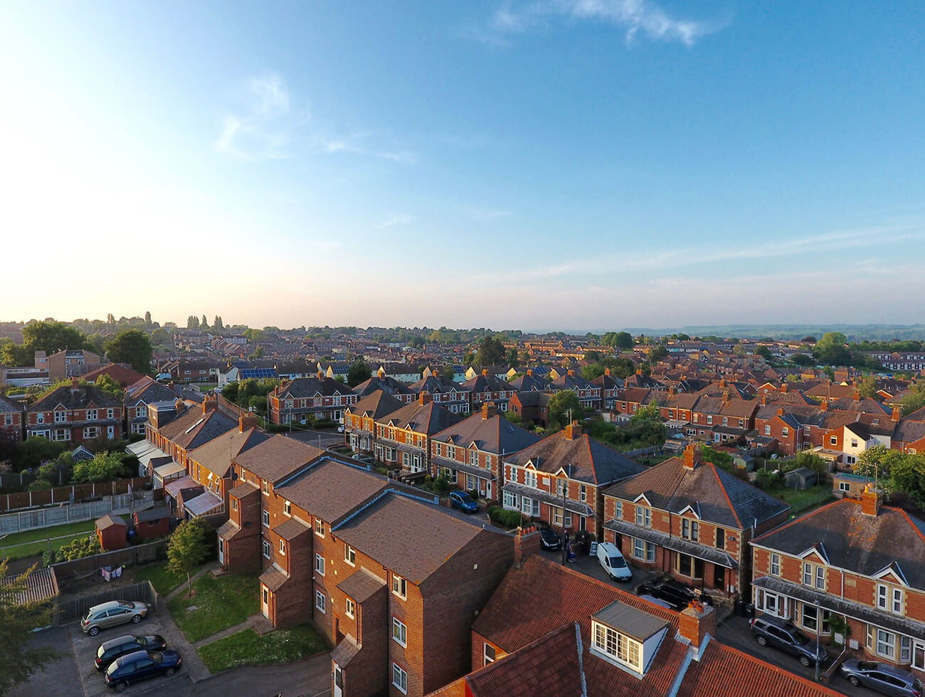
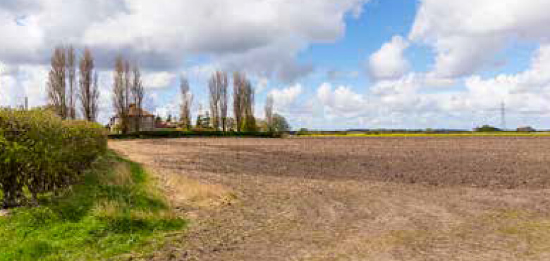
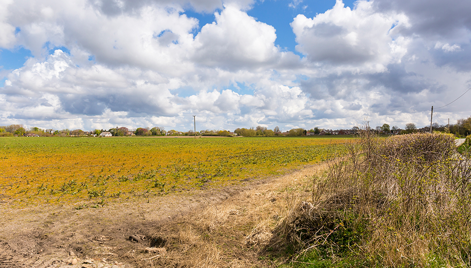
The land for sale is situated between Green Lane and Bells Lane in Maghull, a local parish within the Borough of Sefton, Merseyside, on the outskirts of Liverpool. It is situated in a highly accessible prime location bordered by existing neighbourhoods. As a city, Liverpool is evolving at an incredible speed, pioneering new business opportunities and making this site an excellent residential location.
SITE area
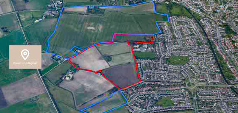
The original site, purchased by Maghull Ltd., extended to some 51.55 hectares (approx. 127 acres) and, after some disposals, there is now an area of 14.38 hectares (approx. 36 acres) that is currently being promoted.
The remaining land is held by foreign investors and is set to be promoted in the near future. The site is located on the edge of town, with a local primary school and easy access to the town centre, making it an ideal location for future residential housing development. In addition, the land benefits from clear access, allowing transport and traffic links to flow through without any major congestion build-up.
EXISTING NEIGHBOURS
3 minutes to Maghull Bus and Rail station
22 minutes to Liverpool City Centre via train
30 minutes to Liverpool John Lennon Airport
APPLICATION
This land for sale in Maghull is currently being promoted through the Local Plan in collaboration with Anwyl Land, with the aim of securing a residential planning allocation for between 350 and 400 homes. In order to maximise the likelihood of success, we have consistently engaged with local stakeholders and aim to grow the neighbourhood in a sustainable and community-orientated fashion. The local Sefton Council adopted their Local Plan in April 2017 but an early review is expected to be undertaken due to employment and housing growth throughout the local area. A subsidiary of the major housebuilder Anwyl Homes, Anwyl Land have worked with LandFirst previously, developing a close, professional working relationship.
As seen in the map below, the area in red is currently heading for an allocation. The area in blue was sold to experienced foreign investors and LandFirst will submit a planning application on both the areas in blue in the coming future.2
SEVENOAKS, KENT
SITE LOCATION
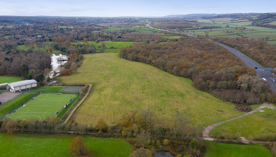
The site is situated in Sevenoaks, just off Coombe Bank Drive, adjacent to Radnor House school. Located just on the edge of the M25, the site is on the northern edge of the tranquil and suburban Sundridge village.
As an area, Sevenoaks boasts some of the highest house prices in the UK and is referred to as a commuter village. The town currently has a population of roughly 30,000 and is a 20-minute train ride to Central London.
SITE area
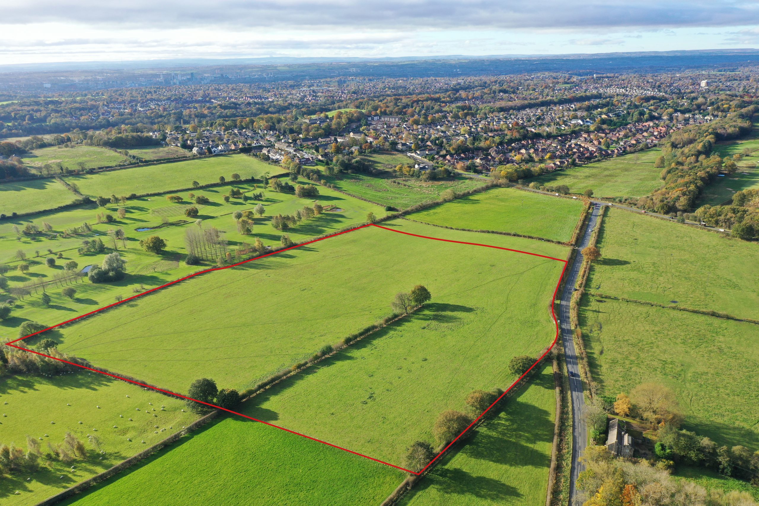
The site was purchased in two distinct phases over a period of 5 years. The first phase was purchased in 2016 and spans circa 7.2 acres (2.9 hectares). This has since been sold to sophisticated
investors and will be promoted through the local plan, along with the new phase, in due course.
The new phase is around 10.5 acres and lies to the South of the previous site, in addition to sharing a border with the serene lake.
EXISTING NEIGHBOURS
2.6 miles from Sevenoaks Train station
3 miles to Sevenoaks Town centre
16 miles to London Gatwick Airport
19 miles to Central London
APPLICATION
The site currently sits in the Green Belt and the AONB for the Sevenoaks Council. However, due to increasing population growth, pressure on public services and a rise in housing prices, the local council have begun to release sites. When the planning scenario is deemed favourable, LandFirst intend to secure a residential allocation on behalf of their investors.
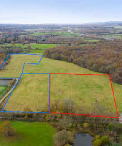
As seen in the map below, the area in red marks the first phase and spans circa 7.2 acres (2.9 hectares). The area in blue marks the new phase, with around 10.5 acres.
Sevenoaks
The site was purchased in two distinct phases over a period of 5 years. The first phase was purchased in 2016 and spans circa 7.2 acres (2.9 hectares). This has since been sold to sophisticated investors and will be promoted through the local plan, along with the new phase, in due course.
The site currently sits in the Green Belt and the AONB for the Sevenoaks Council. However, due to increasing population growth, pressure on public services and a rise in housing prices, the local council have begun to release sites.
Shadwell, Leeds
SITE LOCATION
The site is located on the edge of the built-up area of Shadwell civil parish, northeast Leeds, West Yorkshire, England. The site is in the LS17 postal code, sits in the Harewood Parish of Leeds City Council is served by the Shadwell Parish Council.
LOCAL INFORMATION
– Metropolitan Borough: City of Leeds
– Body: Leeds City Council
– Country: England, UK
– Area 213.0 sq mi (551.7 km2)
– Population: 798,786 (2020)
CONNECTIVITIES
2.00 miles to Shadwell City Centre (5± mins)
5.60 miles - Leeds City Centre (13± mins)
M1 & M62 are easily accessible
Easy access A58 Road that links to Leeds.
Local Development
The LDS confirms that the Draft Local Plan Update is anticipated for Spring 2022, with submission in Winter 2022 and Adoption in 23/2024. The Official Local Plan for Leeds was originally adopted in 2014, set out housing requirement of 70,000 dwellings by 2028. This was subsequently adopted in September 2019, incorporating a revised need for housing of 51,952 dwellings by 2033.